M.Sc. in Geoinformatics for Urbanised Society
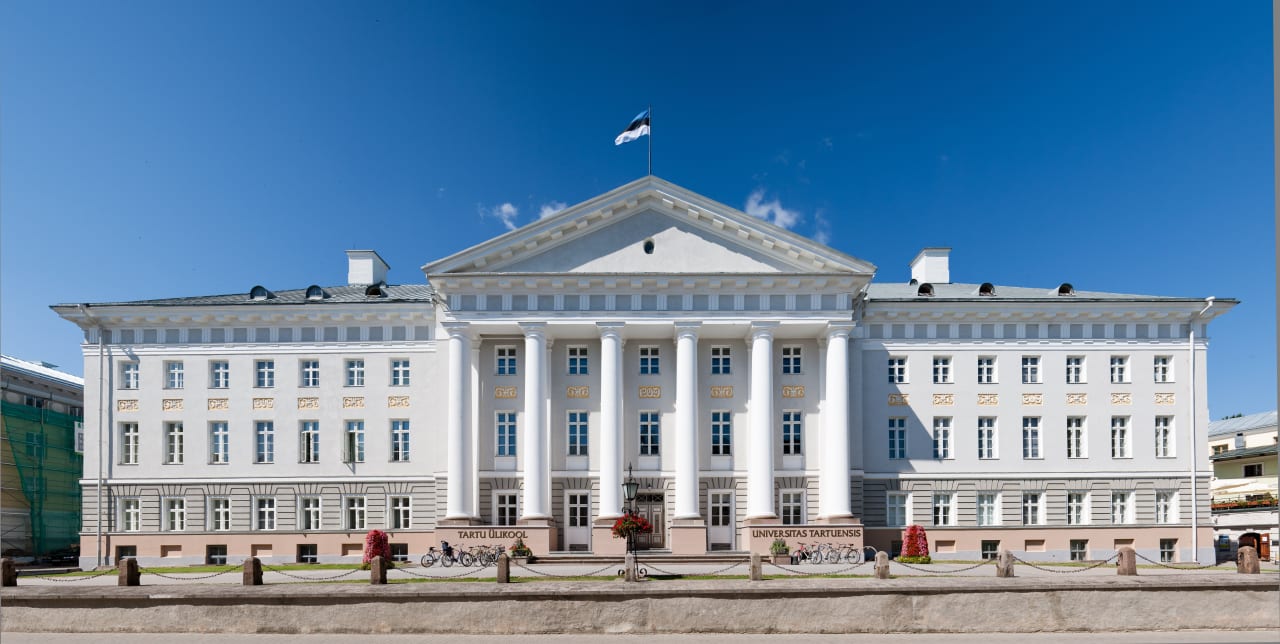
University of Tartu
Key Information
Select location
Campus location
Tartu, Estonia
Languages
English
Study format
On-Campus
Duration
2 years
Pace
Full time
Tuition fees
EUR 6,000 / per year *
Application deadline
Request info
Earliest start date
Sep 2024
* Tuition-waiver scholarships available
Introduction
Modern life more and more relies on BIG DATA and digitized work processes – geoinformatics helps to manage and analyse contemporary spatial data and make decisions on development and policy. The 2-year master’s programme in Geoinformatics for Urbanised Society prepares highly qualified specialists on handling and analysing spatial data and developing decision support systems for the public, private, and non-governmental sector.
A special emphasis of the programme is put on the development of practical skills of students.
- Combines geography and IT in the age of BIG data.
- Gives tools to analyse social and natural processes in space for interdisciplinary decision- and policy-making.
- Teaches the full cycle of spatial data management starting from fieldwork and data acquisition towards visualising planning solutions.
Fulfillment of the master’s programme enables employment in public, private, and non-governmental sector as Spatial Data Manager, Spatial Analyst, or GIS Consultant for Planning and Regional Policy. There are numerous further employment options in local and regional development and policy.
The University of Tartu belongs to the TOP 1.2% of the world's best universities (QS and THE rankings). It is located in Tartu, the second largest city in Estonia, which is known as the Student Capital of Estonia. 13 000 students are enrolled at the University of Tartu, incl. 1300 international students.
Why study Geoinformatics for Urbanised Society at UT?
- Learn geography and IT in the age of big data and use this knowledge to analyse environmental and social processes for interdisciplinary decision-making.
- Take part in different GIS-related events, summer schools and conferences such as Mobile Tartu and The Baltic Geospatial Information Technology Conference.
Admissions
Curriculum
The 2-year master's programme in Geoinformatics for Urbanised Society prepares highly qualified specialists in handling and analysing spatial data to better understand the global environmental and urban processes and develop decision support systems for public, private, and non-governmental sectors.
Governance increasingly relies on sensors, BIG data, analysis, and fast decision-making in the global information society. Society needs experts who can handle geoinformatics tools to understand and find solutions to complex environmental and urban challenges related to climate and environmental change, growing social inequality, and increased spatial mobility. The master's programme focuses on building interdisciplinary competence by combining geography and IT. Particular emphasis is put on the problem-driven approach and development of students' practical skills.
- Learn modern techniques of analysing environmental and urban processes in the age of BIG data.
- Use spatial analysis tools to master the entire cycle of spatial data management, starting with fieldwork and data acquisition and ending with visualising planning solutions.
- Understand how to better plan contemporary urbanised societies at times of global warming, pollution concerns, increased global population mobility, ethnic integration, housing crises in the cities and urban poverty.
After graduation, young professionals can find employment in the public, private, or non-governmental sectors as spatial data managers, spatial analysts, GIS consultants, urban and regional planners. There are numerous further employment options in international organisations dealing with global processes, national, regional and local administrative offices responsible for environmental, urban, regional development and policy. Motivated students can continue their studies on the doctoral level and pursue an academic career.
The two-year master's programme consists of four equal cycles:
- intensive and practical studio format (30 ECTS)
- specialisation courses and work placement (30 ECTS)
- elective and optional courses (30 ECTS)
- master's thesis (30 ECTS)
Examples of courses:
- Spatial Data Analysis
- Demography, Global Migration and Contemporary Cities
- Planning Project
- Geography, Communication and Spatial Mobility
- Energy Flows and Material Cycles
- Introduction to Programming
- Spatial Data Studio
Rankings
The University of Tartu belongs to the top 1.2% of the world's universities.
Program Outcome
Upon graduating, the student
- has a comprehension of geoinformatics and geodatabases and can use GIS software to handle spatial data;
- knows the geographical, social and economic processes in urbanised society as well as the related geodatabases;
- knows the environmental problems in urbanised society, the environmental technology and spatial databases used to manage and mitigate the issues;
- can use the contemporary analytical methods of spatial data and the cartographic methods to visualise spatial data;
- knows the principles and methods of spatial planning;
- has the skills to compile planning projects with the help of GIS software;
- knows the concepts of the information society, smart city and integrated planning and can implement them in planning;
- has acquired experience in teamwork and can work in teams;
- can give consultation within the field of specialisation;
- can participate in scientific research and has skills for academic writing.
Scholarships and Funding
There is 1 tuition waiver available for citizens of EU/EEA/Switzerland and 4 for non-EU citizens
Program Tuition Fee
Gallery
Career Opportunities
Modern life relies increasingly on BIG data and digital work processes – geoinformatics helps manage and analyse historical and real-time spatial data to support decision-making and policy development.
Successful completion of the master’s programme ‘Geoinformatics for Urbanised Society’ enables employment in all sectors as a spatial data manager, spatial analyst, or GIS consultant for planning and regional policy. The alumni work in several local, state, and EU institutions, consultancy companies for planning and environmental management, or companies that provide location-based analyses and IT services or cartographical solutions.
The following list of domestic and international companies and institutions shows where many of our alumni with GIS specialisation have found employment:
Regio, ReachU, Positium LBS, CGI, TerraPro, Navionics, Affecto, Telia, Hendrikson&Ko, Estonian Land Board, Estonian Agricultural Registers and Information Board, Environmental Board, Environmental Agency, Estonian Defence Forces, Estonian Weather Service, Met Office, Tartu Observatory, Tartu City Government, Tallinn City Government, ESPON.